The Federal Emergency Management Agency is about to finalize a new flood risk map for Harris County for the first time in nearly 20 years.
FEMA builds these maps based on information from local government agencies like the Harris County Flood Control District. The most recent map came out in 2007, and a post-Harvey update was expected to be done by 2022.
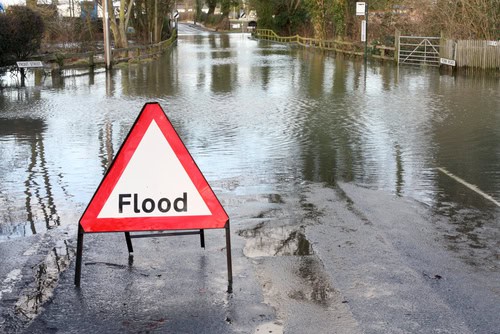
The latest map shows an expansion of the 100-year floodplain, which means more homes, businesses, and neighborhoods are considered to be at higher risk for flooding.