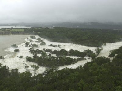
NASA is using some Houston-area resources to assist in search and recovery efforts in the Hill Country flood zone.
The agency announced on Wednesday that it had deployed two aircraft stationed at Ellington Field equipped with sensor technology. Ongoing cloud cover is making it hard for NASA to provide clear satellite images of the disaster area.
NASA’s disaster program is working with the Airborne Science Program at Johnson Space Center to conduct a series of aerial surveys of the Guadalupe River and the surrounding region.