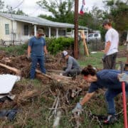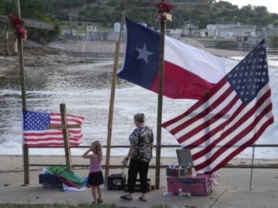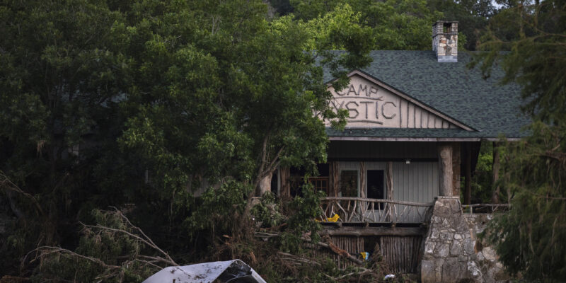
There are growing questions about Camp Mystic, in the Texas Hill Country, which was destroyed in an historic flood.
FEMA allowed for expansion despite the fact that they were in a region known as “flash flood alley.” Syracuse professor Sarah Pralle, who is an expert on FEMA flood mapping, says it’s unclear why. But, she says, FEMA is basically a rubber-stamp for requests.
Records show the exempted properties were within two-feet of the flood zone. And that, she says, left no margin for error.